I never normally pick up an MX magazine. It is almost universally
filled with the very worst kind of "news" - celebrity rubbish, trivia
and "reporting" that consists of ripping meaningless stories of the
internet.
And as for the letters page - suffice to say that it is the dumbest letters page in Sydney, and THAT is saying something.
And as for the letters page - suffice to say that it is the dumbest letters page in Sydney, and THAT is saying something.

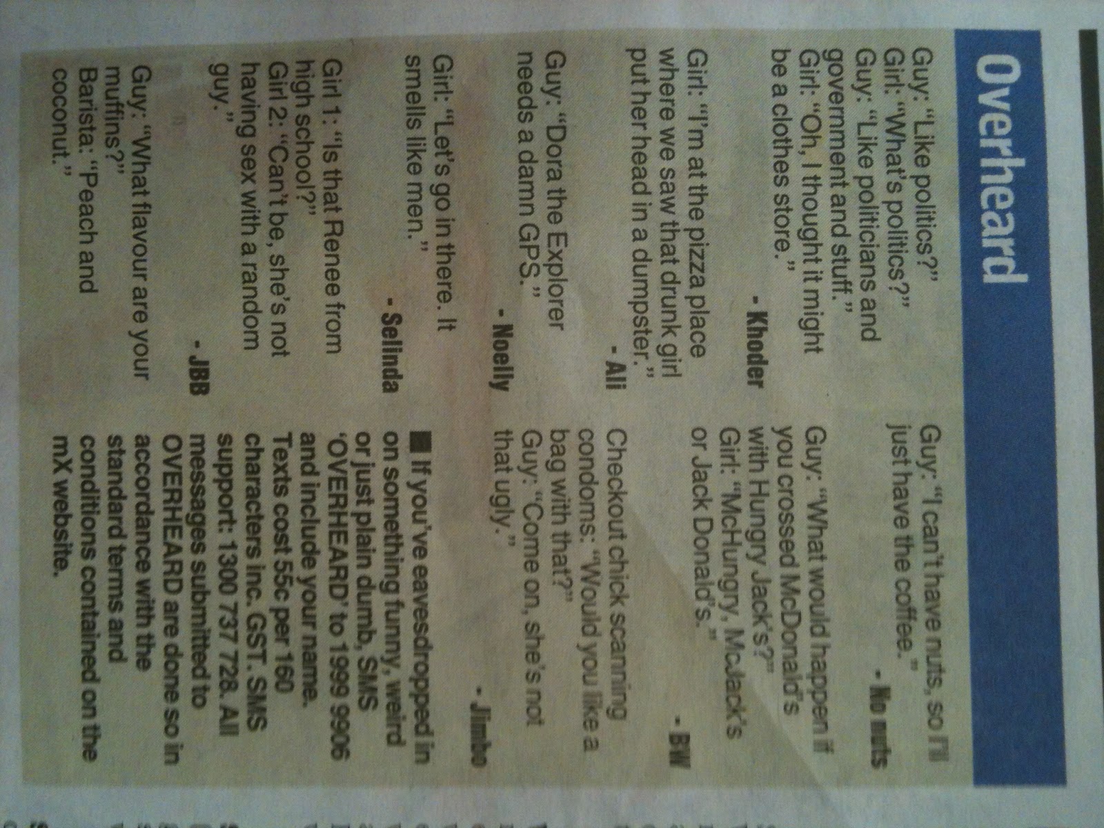
The only redeeming feature is the overheard section, which is usually pretty funny.
The only time you'll ever spot anything resembling actual
journalism is in relation to transport announcements, which, given that
MX is predominantly handed out at stations to consumers, makes sense.
Anyway, when I saw this head line yesterday, I thought I had better grit my teeth and grab a copy.
Anyway, when I saw this head line yesterday, I thought I had better grit my teeth and grab a copy.

The story was as follows:

Some projects were even reannounced over and over, as it the public didn't notice that they were being taken for a ride.
Having said that, the fact that the government kept getting re-elected seemed to suggest that perhaps the public hadn't noticed, but I suppose that's a different conversation.
This announcement, however, shows the government demonstrating foresight and planning. It appears that there is presently little need for such a link, but it is not inconceivable that there may be such a need in the future.
 |
| Sydney Train Map at present |
The North West Rail link is going to head more or less North West from Epping Station, which you can see at the point where the red line meets itself just above the middle of the map. It heads right into the heart of the major growth area of Sydney.
The train system as it presently stands is overwhelmingly geared towards getting people to and from the city. The plans to try and diversify some employment out of the city is not going to work unless people are able to get to these locations other than via the city.
Once the North West Rail Link is operational, the commuters will have a way to get to and from the city. But as the areas populate people will be wanted to get to Western Sydney. There are growing city centres around Parramatta and Penrith that will need to be serviced.
In the same way, the growing population in the North West will no doubt lead to an explosion of jobs in the area, and the workers who don't already live in the area will need to get there somewhere.
The proposed route will result in a line heading from the last North West Rail Link station to connect up with either Schofields or Riverstone, which can be seen 7 and 8 stations south-east of Richmond, the station in the top left of the map. It will create a sensible and, I have no doubt, very useful route for commuters travelling in that direction.
In fact, if you look at the below map, if would seem silly not to connect the two together in due course. Schofeilds can be see just to the west of the end of the North West Rail Link at Cudgegong Rd.

We do need to keep things in perspective - all that's been done is set aside the land. The real test will be whether the government releases the land after the first call from a developer suggesting they may pay a little more for this or that block if they released the land.
But it is an important first step towards making sure that our rail system is able to effectively and efficiently move people around this city. If the city is going to grow, and particularly if the North West is going to accept as many new residents as are presesntly planned, this kind of forward planning is essential.
Here's hoping O'Farrell has the courage to stick to this plan when it actually requires a "price" to be paid.
No comments:
Post a Comment